Pedometrics experts worldwide convene in Las Cruces to tackle future challenges in soil science

In early February 2024, "pedometricians" from five continents gathered in Las Cruces, New Mexico, USA, to attend the 2024 Pedometrics Conference hosted by New Mexico State University. The conference aimed to discuss the latest scientific developments and learn about the fascinating soils and landscapes of southern New Mexico. The conference's theme was the "10 Challenges for the Future of Pedometrics", developed by a collective including ISRIC-World Soil Information Special Professor Gerard Heuvelink. This theme focused on ongoing work on the most important unresolved issues and led to a vigorous discussion on what has been more or less solved and what now needs the most attention.
“Pedometrics” is a neologism coined by Prof. Alex McBratney (University of Sydney), combining the Greek roots "pedos" (meaning "soil") and "metron" (meaning "measurement"). The term refers to the use of quantitative methods to study soils, their properties, functions, ecosystem services, and geography. It is an area of research that is very active and is a Commission of the International Union of Soil Sciences (IUSS).
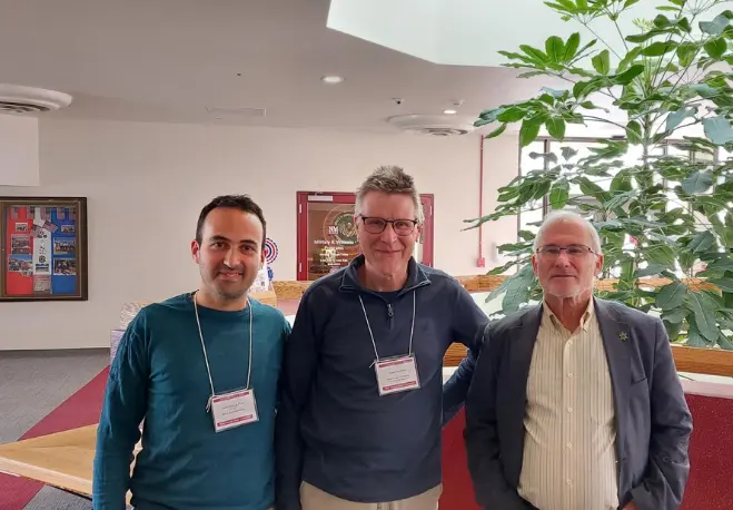
A team of researchers from ISRIC attended the conference: Giulio Genova, Digital Soil Mapping specialist; Laura Poggio, Senior Digital Soil Mapping and Remote Sensing expert (via remote); Gerard Heuvelink, Special Professor of Pedometrics and Digital Soil Mapping; and David Rossiter, Guest Researcher.
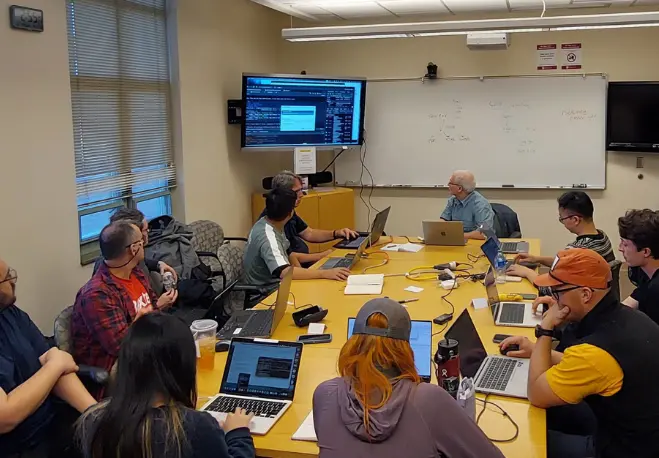
The team presented two pre-conference half-day workshops; one was on the use of "containers" for reproducible digital soil mapping (DSM) workflows, and the other was on evaluating DSM products by their spatial patterns. They also presented their work on spatial pattern evaluation for comparing digital soil maps obtained with different methods. Additionally, they gave a keynote on ways to learn about pedological processes from data-driven models and an oral presentation on quantifying uncertainty of spatial averages and totals. Finally, Gerard Heuvelink presented a paper by ISRIC PhD candidate Stephan van der Westhuizen on the use of biplots for understanding machine learning predictions in digital soil mapping.
Several works at the conference featured ISRIC data resources and procedures. One of the most notable was by Nicholas Jelinski of the University of Minnesota and the Alaska Soil Data Bank project, which is using ISRIC-developed standards and workflows, as well as the WoSIS profile database as a fundamental data source, to generate high-quality datasets for the critical and sensitive polar regions of Alaska. Another project using WoSIS as its key data source was from Perseverança Mungofa of the University of Florida. It focused on using artificial intelligence and deep learning techniques for image processing of soil surface and subsurface horizons. This work was in collaboration with ISRIC scientist Stephan Mantel and former ISRIC programmer Jorge Mendes de Jesus. Other works with ISRIC co-authors were on soil organic carbon monitoring at European scale and evaluating how well digital soil mapping based on data in one country can be extrapolated to others.
ISRIC places great importance on pedometrics, particularly in the areas of DSM and spectroscopic methods of soil analysis. The organisation is committed to remaining at the forefront of pedometrics, particularly in its application to ISRIC projects and new methodologies. For instance, three ISRIC scientists, members of the Scientific Committee for the conference, Heuvelink (2006, 2017), Poggio (2016), and Rossiter (2020), have been co-authors on the "best paper in pedometrics" as evaluated by the Pedometrics Comission of the IUSS. In addition, the digital soil mapping workflows developed at ISRIC follow the best Pedometric practices, particularly in uncertainty assessment.
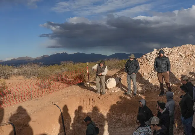
Inspirational field tours enriched the conference experience, offering attendees two remarkable excursions. The first tour was to observe several (large) soil pits and learn about the desert geomorphology in which the soils formed. The second tour brought attendees to experience a different landscape before reaching the White Sands National Park, which features massive dunes formed of gypsum and is located not far from the Trinity site where the first atomic bomb was tested.
The conference was an excellent opportunity to stay up-to-date and discuss the subject at length with top researchers. It was also a chance to interact with upcoming graduate students and post-doctoral researchers. For the ISRIC researchers attending, it was a chance to learn about a fascinating soil-geomorphic region.
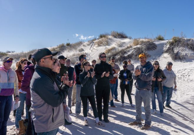
Header image: White Sands National Park gypsum dunes. Photo by Christine Stockwell.