Gerard Heuvelink delivers training on remote sensing in digital soil mapping
On February 18, 2021, ISRIC – World Soil Information senior researcher Gerard Heuvelink provided a training about “Applications of Remote Sensing in Digital Soil Mapping” to the Sher-e-Kashmir University of Agricultural Sciences and Technology of Kashmir (SKUAST-Kashmir) in India. The hour-long training was attended by soil scientists from many Indian institutions including officers from the Department of Agriculture.
His presentation was part of a 21-day program designed by SKUAST-Kashmir’s Remote Sensing and Geoinformatics Lab to build capacity for Indian soil scientists around the applications of remote sensing and geographic information system (GIS) technology for natural resource management.
“We aim to build a strong research team to lead in pedometrics, digital soil mapping, and spatial data analysis in the country,” said Dr. Shabir A. Bangroo, assistant professor in SKUAST-Kashmir’s Division of Soil Science and director of the 21-day training course.
Professor Heuvelink, who also holds the title special professor in pedometrics and digital soil mapping at Wageningen University and Research, views remote sensing as an important area of innovation for the future of soil management.
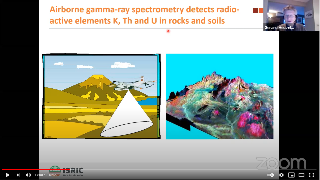
Remote sensing time series imagery is also the most promising avenue to global monitoring of soil change. ~Gerard Heuvelink
“The strength of modern-day digital soil mapping lies in the combination of soil observations and high-resolution remote sensing data,” Prof. Heuvelink said. “Remote sensing time series imagery is also the most promising avenue to global monitoring of soil change.”
The training program in Kashmir is part of the World Bank-funded project on National Agricultural Higher Education Project (NAHEP) of SKUAST - Kashmir. Watch the full training presentation by Prof. Heuvelink on the Soil Division SKUAST Kashmir YouTube channel.