Share on:


Community of practice
Join a community of practitioners who work with soil data and provide information products derived from soil data.
ISRIC Spring School
Time for a change! Our yearly Spring School training event has been discontinued, but don’t worry, our training efforts in digital soil mapping and international standards for soils classification and assessment have not stopped
Virtual Classroom
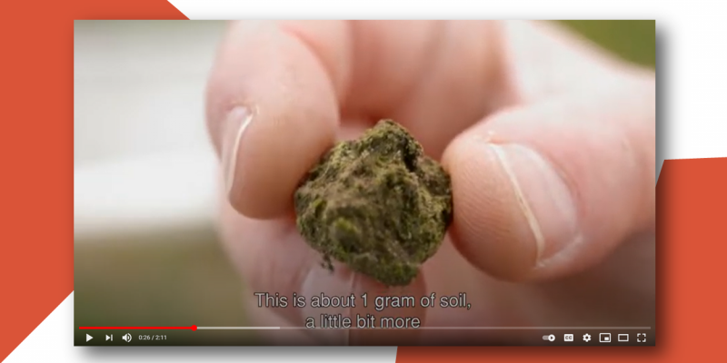
A compilation of ISRIC videos about our soil monolith collection, sustainable soil management and more.
PhD and MSc students
ISRIC welcomes PhD and MSc students to do part of their thesis research or an internship with us in Wageningen.
Guest Researcher Programme
ISRIC has a guest researcher programme and welcomes researchers and professionals that wish to collaborate.