New paper: Efficient new method to calculate uncertainty in spatial averages
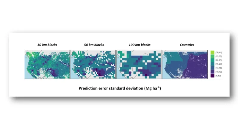
Figure showing average uncertainty for an aggregation over different geographical areas indicating standard deviation (Mg ha1) of above-ground biomass in the Congo basin.
At global and continental scales, natural resource maps provide a basis for checking on how ecosystems are responding to human impact. However, how accurate are those maps, and how certain can we be that they are reliable to guide our actions on climate change, biodiversity preservation and other big issues?
A recently published paper offers a new method for answering that question. The paper focuses on how to calculate uncertainty in spatial averages and is co-authored by ISRIC – World Soil Information Senior Researcher Gerard Heuvelink joining lead author Alexandre Wadoux. Alexandre completed the research while at Sydney Institute of Agriculture & School of Life and Environmental Sciences, The University of Sydney in Australia and now is based at the French National Institute for Agriculture, Food, and Environment (INRAE) in Montpellier.
"This has important implications for land managers and policy makers in addressing climate change." ~Alexandre Wadoux
“Current natural resources maps such as above ground biomass or carbon stocks usually report an estimate of the uncertainty,” Gerard explained. "But things go wrong when averages and totals are calculated for a country or a bioregion because the uncertainty of an average or a total is much more complex to obtain."
Existing techniques to obtain the uncertainty of spatial averages and totals are based on geostatistical modelling. This requires specific expertise of the mapmaker, and heavy computation for large geographical areas.

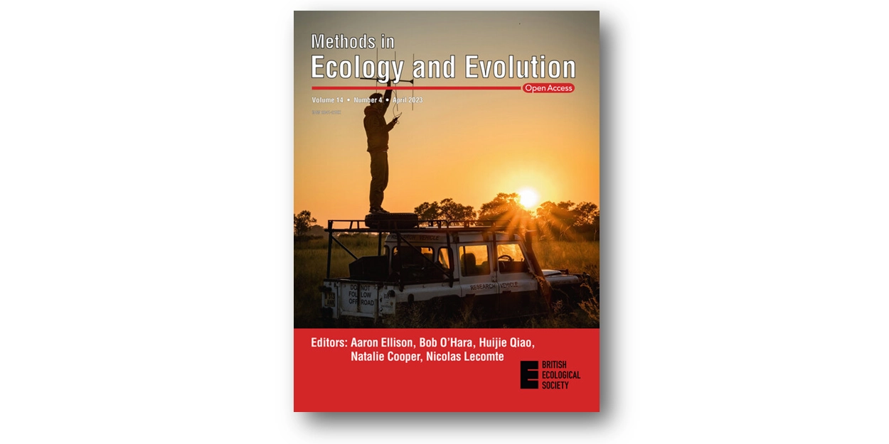
The method presented in the new paper “Uncertainty of spatial averages and totals of natural resource maps,” published in the journal Methods in Ecology and Evolution, circumvents these problems and uses a Monte-Carlo integration to estimate the prediction error variance of spatial averages and totals. It considers the spatial autocorrelation and it is applicable to maps obtained with machine learning techniques, which many studies now use.
“We envision future use of the methods to crucial applications, such as to understand if the change of regional estimates of carbon stocks over time is statistically significant. This has important implications for land managers and policy makers in addressing climate change,” Alexandre said.
Access the paper here: https://doi.org/10.1111/2041-210X.14106
Full citation: Wadoux, Alexandre M.J.-C. and Gerard B. M. Heuvelink. 2023. Uncertainty of spatial averages and totals of natural resource maps. Methods in Ecology and Evolution. https://doi.org/10.1111/2041-210X.14106
