ISRIC senior researcher discusses proper assessment of soil map accuracy
There are different ways to evaluate map accuracy, and ISRIC pedometrician and senior researcher Gerard Heuvelink recently gave a talk on what he considers to be the gold standard of soil map accuracy assessments: design-based probability sampling.
Below you can view the lecture, “Design-based methods for assessing map accuracy,” given at the OpenGeoHub Summer School in September 2021.
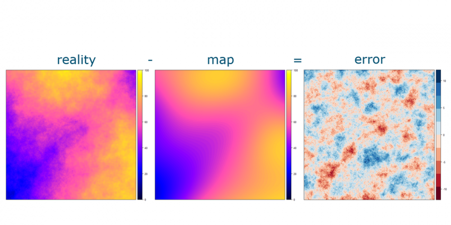
When creating a map of soil characteristics, the map is based on a model which estimates the value of the characteristics between the places where exact measurements were taken. So, it is important to measure the accuracy of the map to know how well it is actually predicting the true soil values.
“Many researchers believe that design-based statistical inference is not valid in spatial applications. With this lecture and paper we hope to have convinced them that they are wrong,” Gerard said.
As acknowledged in the lecture, for various reasons including its high cost, probability sampling is not always feasible for assessing a soil map’s accuracy, and sometimes cross-validation is used.
However, as Gerard and his co-authors noted earlier this year in an article in the journal Ecological Modelling, spatial cross-validation is not a good way to evaluate map accuracy.
Access the article, “Spatial cross-validation is not the right way to evaluate map accuracy,” here: https://doi.org/10.1016/j.ecolmodel.2021.109692
The paper also shows that conventional cross-validation is deficient in cases where the observations are strongly spatially clustered. ISRIC continues to look for ways to properly assess soil map accuracy in such situations.