ISRIC releases 100m resolution forest soil property maps for Europe
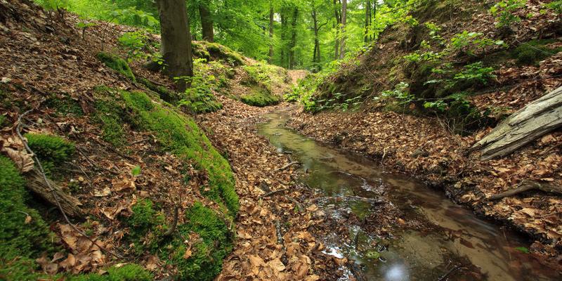
Forest soils provide important ecosystem services, including biodiversity support, nutrient cycling, carbon sequestration, water regulation and erosion control. Yet, many forest soils in Europe are degraded. Thus it is important to have good information on their condition to inform European forest management and policies.
ISRIC – World Soil Information is a partner in the EU H2020 HoliSoils project ―holistic management practices, modelling and monitoring for European forest soils— led by the Natural Resources Institute Finland (LUKE). Their main activities focused on improving the spatial information on forest soils in Europe.
In an earlier blog, ISRIC senior soil science expert Niels Batjes explained how shared forest soil datasets from different sources were collated, cleaned, and standardised before their ingestion into a large soil database.
Based on a GIS-overlay with the EU Corine Land Cover dataset (for 2018), approximately 28,000 profiles under forest were identified. These training data were used to map soil properties at a resolution of 100 m. This was done using a digital soil mapping approach featuring model tuning, environmental covariate selection and regression random forest. Further methodological details are provided here.
Access the maps via ISRIC Soil Data Hub
“The soil property maps can be used for decision making and integrated in vulnerability modelling and climate change scenarios at continental level,” said ISRIC senior digital mapping and remote sensing expert Laura Poggio, “but the inherent uncertainty associated with the various predictions should always be taken into consideration by the user community.”
Ultimately, all map products stemming from the HoliSoils project will be accessible through the TISDAR portal, hosted by Thünen Institute, as well as the HoliSoils data webpage.
