
SoilGrids is ISRIC – World Soil Information’s flagship system for global digital soil mapping. Every year, thousands of people access these open-access maps and download them for their own use and we want to know: how is SoilGrids working for you?
If you have used SoilGrids, please take a moment to fill out this short user survey: https://forms.office.com/r/Hmi1GCG7pn
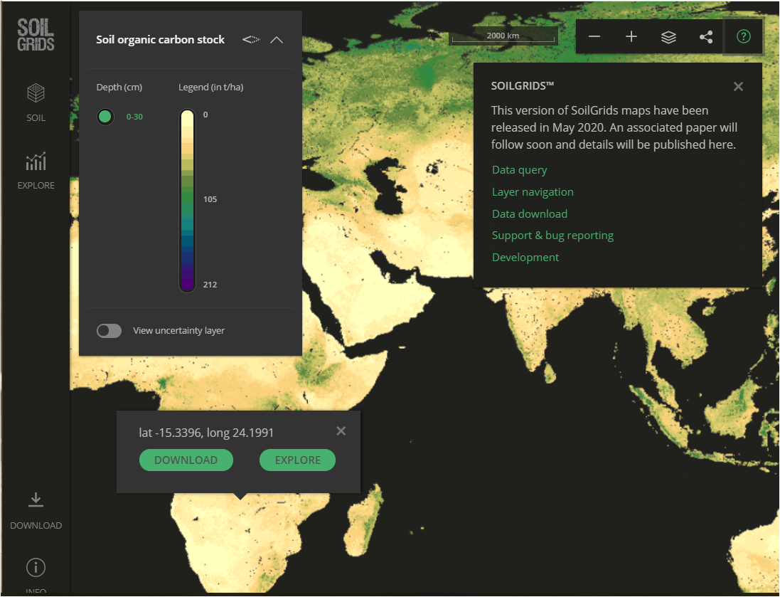
SoilGrids is comprised of quality-assessed global maps of soil properties. In the latest version of SoilsGrids, released in 2020, ISRIC introduced many methodological improvements such as an improved set of point observations with more stringent quality assessment as well as improved cross-validation and covariate selection methods. SoilGrids also gained spatially explicit uncertainty quantification.
We hope that user feedback can drive the next round of improvements for SoilGrids, in particular its accessibility and usability. Please take time to fill out the survey and give your input.