Skip to main navigation
Top navigation
About ISRIC
Data hub
News
Careers
Contact
Explore
Utilise
Discover
Search
Search
Breadcrumb
Home
Regional
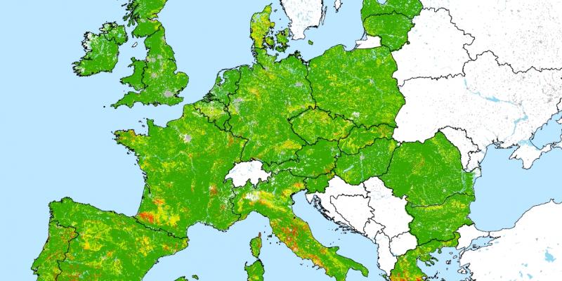
Soil and terrain database for the Danube basin
Start year
2019
End year
2021
Read more
Soil and Terrain (SOTER) database programme
Start year
1986
End year
2016
Read more
Preventing and Remediating Degradation of Soils in Europe through Land Care (RECARE)
Start year
2013
End year
2018
Read more
PAN-European Soil Erosion Risk Assessment (PESERA)
Start year
2000
End year
2003
Read more
Mapping of soil and terrain vulnerability in Central and Eastern Europe (SOVEUR)
Start year
1997
End year
2000
Read more
Interactive Soil Quality Assessment in Europe and China for Agricultural Productivity and Environmental Resilience (iSQAPER)
Start year
2015
End year
2020
Read more
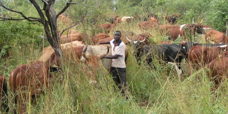
Grasslands, rangelands, livestock and climate resilient mitigation (Africa)
Start year
2014
End year
2015
Read more
Geospatial Farm Fertilizer Analysis
Start year
2014
End year
2015
Read more
Development & implementation of a Soil Fertility and Crop Nutrient Management Platform - Pilot Phase
Start year
2017
End year
2023
Read more
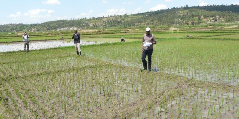
CSISA 4.0 Cereal System Initiative South Asia
Start year
2023
End year
2024
Read more
Pagination
Previous page
‹‹
Page 2
Next page
››
Subscribe to Regional

")
")