CSISA 4.0 Cereal System Initiative South Asia

soil pH map of a region in India
Start year
2023
Share on:
End year
2024

Background

The Cereal Systems Initiative for South Asia (CSISA), led by the International Maize and Wheat Improvement Center (CIMMYT), was established in 2009 with a goal of benefiting more than 8 million farmers by the end of 2022. For that initiative, a Soil Intelligence System (‘SIS’) project (2018 – 2021) developed modern approaches to soil assessment and integrative management through digital technologies and analytics for states of Andhra Pradesh and Bihar in India. The next phase of CSISA (4.0) continued within these established partner networks to operationalize SIS outputs through public and private sector partners for the purposes of: : 

  1. Empowering efficient and accurate soil characterization,
  2. Driving policy and market development at the landscape scale
  3. Enabling precision management at the farm scale
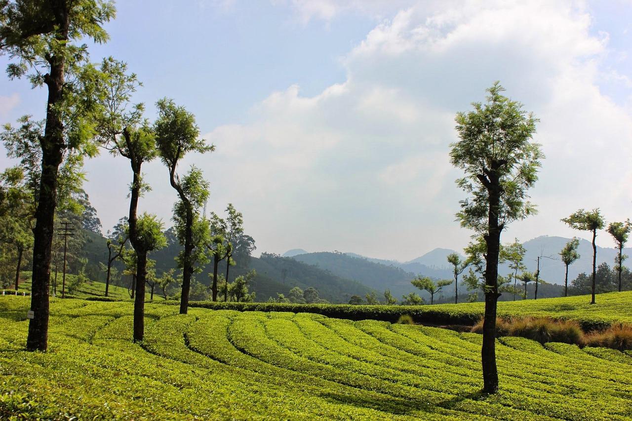
The geography of focus for CSISA 4.0 were the Indian states of Bihar, Uttar Pradesh and Odisha. Special emphasis for the soils work was given to the state of Bihar considering the emerging state investments in ‘digital farmer services’, an initiative supported by the Bill and Melinda Gates Foundation. ISRIC supported CSISA 4.0 by continuing the soils work done under the previous SIS project. That project primarily focused on developing gridded soil maps for the states of Andhra Pradesh and Bihar from data collected under the Soil Health Card scheme and setting up web portal, supplemented with an API to give access to the maps.

Objectives

The objective of ISRIC’s contribution to the project was to deliver soil information products and services in the state of Bihar as a contribution to the project’s Intermediate Outcome 4: “Soil intelligence approaches for improving land productivity and nutritional security are strengthened and mainstreamed in India.” In particular, ISRIC contributed to Outcome 4.1 “SIS products, data systems, and analytical approaches for improving land productivity and transforming soil health management initiatives adapted and deployed by the National Agricultural Research & Education System.”

Activities

ISRIC undertook the following activities:

  • Visit Bihar to scope the exit strategy of CSISA 4.0 with emphasis on embedding the digital soil mapping workflows and products within the decision-support systems of the state of Bihar (in particular the BIHAN app for government extension services).
  • Preparation of a new covariate stack at 100-m spatial resolution. Covariates will be developed from earth observation imagery available in the Google Earth Engine Data Catalogue.
  • Consolidation of the coded digital soil mapping (DSM) workflow developed under the SIS India project with appropriate code documentation.
  • Update of the current set of twelve gridded maps of Soil Health Card (SHC) properties using new SHC data and the new covariate stack.
  • Quality assessment of the current and updated digital soil maps with Bihar “gold standard data”, including a comparison of the gold standard data with the SHC data.

Deliverables

ISRIC delivered the following products:

  • New covariate stack at 100-m spatial resolution for the state of Bihar with covariates primarily derived from earth observation imagery from the Google Earth Engine Data Catalogue.
  • Set of R scripts to support semi-automated digital soil mapping, suitable for distribution with a report describing the workflow.
  • Set of updated gridded maps of Soil Health Card properties for the state of Bihar at 100-m resolution.
  • Report describing the results of the map quality assessment.

Consortium

International Maize and Wheat Improvement Centre (CIMMYT)

Cornell University College of Agriculture and Life Sciences

International Rice Research Institute

Funding

The project was funded by the Bill and Melinda Gates Foundation. ISRIC was subcontracted through the International Maize and Wheat Improvement Centre (CIMMYT).

Scale
Contact: