Space-time Statistical Modelling of Soil Organic Carbon

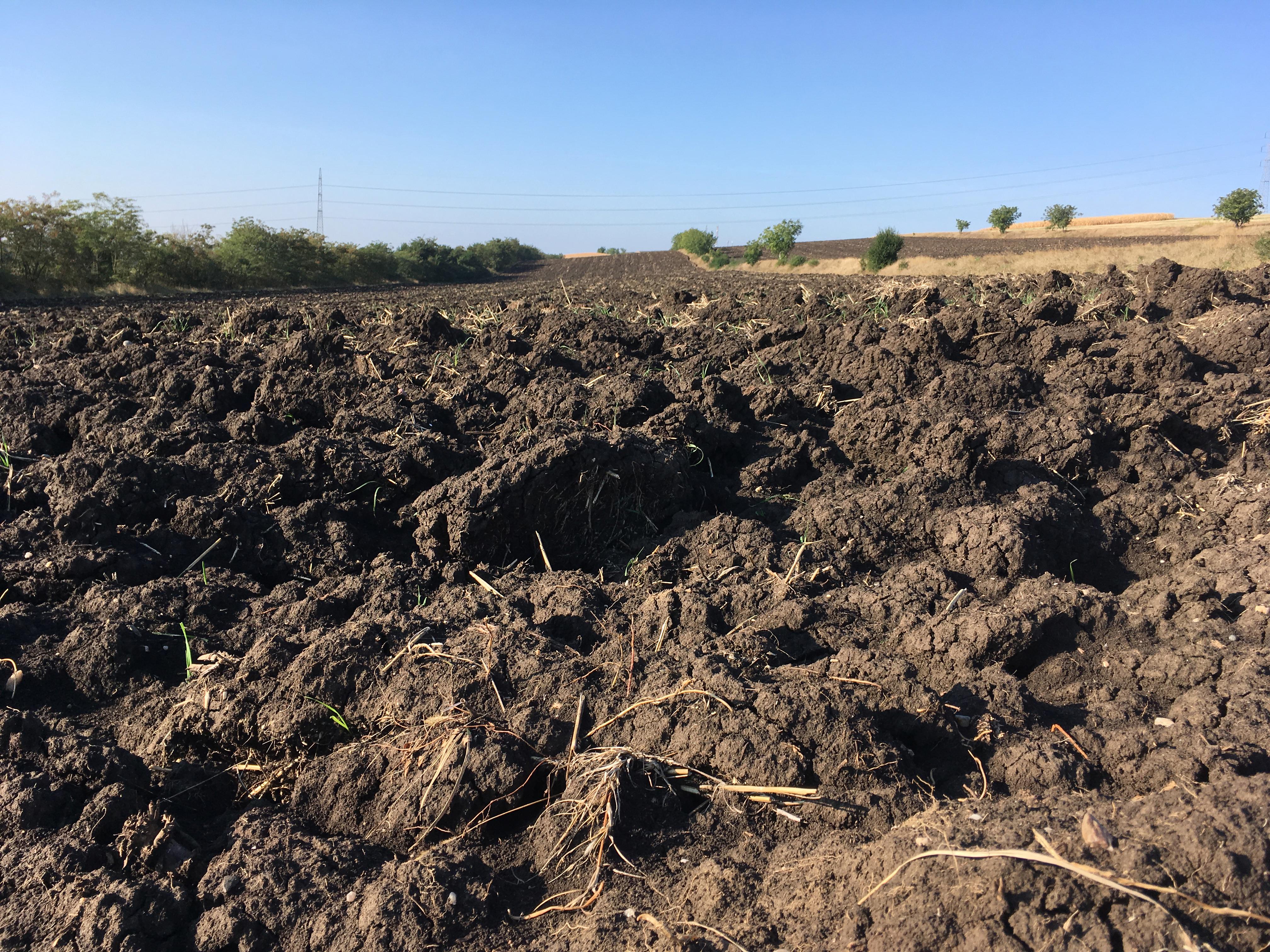
A ploughed field of a soil rich in organic matter (Luvic Chernozem).  Location: Agricultural Research Station in Turda, Romania.
Start year
2018
Share on:
End year
2021

Background

To evaluate soil carbon sequestration and land degradation neutrality policies and measures there is a need for a global web-based platform to inform on the status and trends of soil organic carbon (SOC). Among others, such a platform requires a statistical methodology that allows to predict SOC in space and time from SOC point observations and spatial and spatio-temporal maps of environmental covariates.

Objectives

This project developed, implemented and applied a statistical space-time SOC mapping methodology. In the first phase Argentina was used as a pilot and SOC concentration and stocks were predicted on annual basis from 1982 to 2017. In phase 2 an extension to the globe was made, both using a UNCCD modified IPCC approach and machine learning. Web-based visualization of the resulting time series SOC maps is led by a partner in the project.

Activities
  1. Assemble soil profile data and covariates.
  2. Develop space-time statistical models and calibrate these using the available data.
  3. Use the calibrated models to make space-time predictions of SOC concentration and SOC stocks for a chosen time period.
  4. Quantify the uncertainties associated with the predictions and predicted temporal trends.
  5. Share resulting time series SOC maps publicly in a web-based interactive portal.

Deliverables (not all freely accessible)

Consortium

Partners within the project consortium are ISRIC, the National Institute of Agricultural Technology (Argentina), Woodwell Climate Research Center (USA), Cornell University (USA) and Vizzuality (Spain).

Funding

The project is commissioned by The Nature Conservancy (USA).

Global issues
Scale