Background
Existing soil databases for Africa often are compilations of datasets generated for different purposes, and therefore based on a variety of methods for soil sampling and analysis. Generally, the data were collected using purposive sampling and analysed using conventional soil laboratory methods. As such, they rarely provide direct measurements based on sound (geo)statistical sampling frames. Further, the available data are seldom shared as open data. These compounding factors introduce a strong bias in the data and thereby preclude accurate assessment of the occurrence of soil constraints, quantification of risk factors and reliable assessments of change in soil health/quality.
The Soils4Africa project will overcome these constraints by developing a soil information system that uses a sound sampling framework, uniform methodologies for data gathering, accompanied with thorough documentation of the methodologies. The SIS will be hosted by an African institute to be selected by the project. The project will develop a methodology that can also be used for continental scale soil quality monitoring in the future, as well as for national level data collection and soil monitoring.
Objectives
- Define use cases for the SIS (including indicators to support them), in consultation with relevant stakeholders (WP2).
- Design the SIS and produce guidelines and protocols for the fieldwork and laboratory analyses required to populate the SIS. These materials will be used for capacity building and future monitoring of the state of soil (WP3).
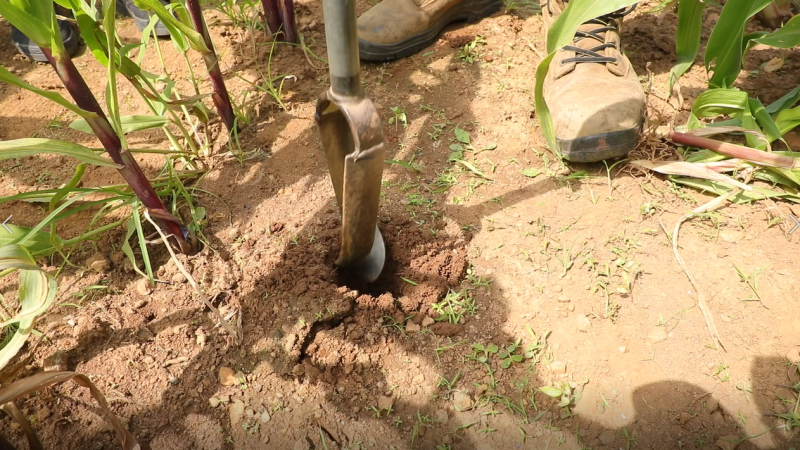
- Carry out a field campaign to collect soil samples at 20,000 locations (plus field observations), in accordance with a shared protocol (WP4).
- Extend the selected laboratory at the Agricultural Research Council of South Africa (ARC) with facilities for spectral analysis, train ARC staff, and analyse all samples for the standard parameters plus heavy metals. Further, 300 samples will be analysed for pesticides residues. Adequate quality control measures will be implemented (WP5).
- Develop the technical infrastructure for the SIS and populate the SIS with the collected data and indicators, make these data public in accordance with FAIR principles and link them to open earth observation data from other sources and ensure that the resulting SIS will be hosted and maintained by an African institution that has undergone the capacity building necessary for this task (WP6).
Activities
Project activities will include: Communication and outreach, stakeholder identification and selection, design of methods, development and testing of procedures, mapping, field and laboratory sampling and analysis, data management, capacity building, reporting among others.
Deliverables
The Soils4Africa deliverables project include a set of key indicators for soil assessment in Africa, methods for their quantification, and a fully documented methodology for field observations, sampling, laboratory analysis, data management, mapping and derivation of indicators, as well as the SIS itself.
- Agricultural land map of Africa, released February 2021
Consortium
The Soils4Africa consortium is made up of 17 partners including ISRIC - World Soil Information, Wageningen University (WU), Forum for Agricultural Research in Africa (FARA), Szent István University (SZIU), The Agricultural Research Council (ARC), The International Institute of Tropical Agriculture (IITA), The Interbalkan Environment Center (IBEC), Stellenbosch University (SU), World Agroforestry (ICRAF), The Regional Centre for Mapping of Resources for Development (RCMRD), Institut Facultaire des Sciences Agronomiques de Yangambi (IFA-YANGAMBI), BUNASOLS, l'Institut des Régions Arides (IRA), Kenya Agricultural & Livestock Research Organization (KALRO) , SGS Hungary Ltd (SGS), European Joint Research Centre (EC-JRC), and MetaMeta. ISRIC is coordinating partner.
Funding
The project receives funding from the European Union’s Horizon 2020 Research and Innovation programme under grant agreement No 862900.