Start year
2011
End year
2012
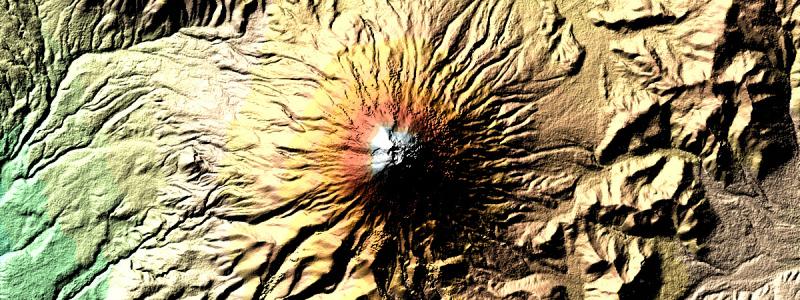
The SRTM elevation model of the world is one of the most used dataset in the scientific community. Still, several Nodata regions exits throughout the dataset. CIAT provides a void-filled product using the best available auxiliary elevation datasets, still missing the ASTER GDEM project, which delivered a 1 arc second DEM for the whole world, however the quality for the moment is still in research grade.
The project aims to generate DEMs based on Aster GDEM for voidfilling the SRTM DEM. This is part of the Global Earth Observation System of Systems (GEOSS) work as part of the Taskgroup TASK-DA-09-03D.
Approach and activities:
- Develop a method for cleaning ASTER GDEM for SRTM void areas without high resolution auxiliary DEMs.
- Submit these DEMs to CIAT Colombia, where they will be used for the final fill process of SRTM
- Prepare a research paper on how ASTER can be used for void-filling SRTM(IGIS)
- Investigated whether an Open Topography portal can be developed, where different kinds of DEM information can be stored, analyzed and generated.
Scale
Contact: