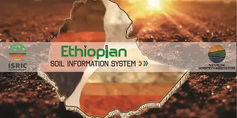
Enhancement of the National Soil Information System (NSIS) of Ethiopia

Start year
2024
Share on:
End year
2025

Background

In Ethiopia, soil health and soil fertility management issues are very high on government institutions’ agendas. Several policies, strategies (Ethiopia’s Digital Strategy) and initiatives (Digital Agriculture) are being developed.

The National Soil Information System (NSIS) evolved from the EthioSIS project and started in 2017. This initiative followed several soil survey and mapping projects, including EthioSIS, AfSIS, CASCAPE, REALISE, and others.

Recently, EthioSIS transitioned to the Ministry of Agriculture (MoA). MoA sought support from ISRIC – World Soil Information to further enhance and develop its National Soil Information System (NSIS) at all levels of soil information system workflows, and ensure sustainability, accessibility, and usability for a wide range of soil data and information users.

Objectives

The project aims to further develop NSIS so that:

  • it meets international standards;
  • publishes its data fairly;
  • supports land- and agricultural management decision making by a range of Ethiopian partners; and
  • the capacity of MoA is built to manage enhancements of NSIS sustainably.


Activities

  • Facilitate communication and interaction among project stakeholders.
  • Take inventory of current components and challenges.
  • Analyse the existing datasets on completeness to facilitate typical soil use cases.
  • Implement a database modelled on ISO28258 using the existing datasets with a proper ETL mechanism.
  • Set up digital mapping workflow and develop spatial data layers on soil class and properties for web dissemination and further use in models and applications.
  • Assess and identify various options for digital soil data collection.
  • Propose a strategy to serve and visualize the common soil database and derived data products.


Deliverables

  • Develop a comprehensive soil data model and associated database able to accommodate existing soil profile legacy data, EthioSIS topsoil data, and new data resulting from future soil survey initiatives. The database should accommodate both topsoil data and subsoil data.
  • Develop dynamic and interactive web tools allowing users to spatially query the soil data.
  • Develop a soil data collection field form and tool to serve soil surveys (as in REALISE) and support MoA’s upcoming soil mapping efforts.
  • Apply standards in soil data quality control and soil mapping so NSIS will include high quality soil maps.
  • Provide training for national staff of MoA Soil Survey and Mapping Desk and ICT department to apply above.


Consortium

Ethiopian Ministry of Agriculture (MoA) and ISRIC – World Soil Information.

Funding

Supported by the USAID-BRFS funded Feed the Future Soil Fertility Technology Adoption, Policy Reform, and Knowledge Management (RFS-SFT) –Sustainable Opportunities for Improving Livelihoods with Soils Consortium (SOILS-C) managed by the International Fertilizer Development Center (IFDC), under Cooperative AgreementNo. AID-RFS-IO-15-00001.

Contact: