SoilGrids soil property maps now available in ESRI Living Atlas

SoilGridsTM, ISRIC - World Soil Information’s flagship global digital soil maps, are now available for use in the ESRI® Living Atlas of the World.
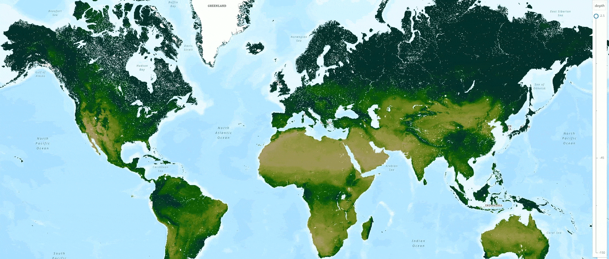
Inside ESRI® Living Atlas, a collection of geographic information from around the globe, including maps, apps, and data layers, you can now access and use these 11 SoilGrids soil property maps at 250 meter resolution:
- Organic carbon density
- Organic carbon content
- Organic carbon stocks
- pH water
- Percent clay
- Percent sand
- Percent silt
- Cation exchange capacity
- Bulk density
- Coarse fragments
- Nitrogen
- Plus uncertainty predictions for each of these maps
Access these global soil property maps through [ESRI Living Atlas online] (https://www.arcgis.com/home/search.html?restrict=false&sortField=relevance&sortOrder=desc&searchTerm=world+soils+250m#content) or via ArcGIS Desktop
The soil maps are served as "multidimensional layers". Learn more about how to view and use these layers in an ESRI blog. For each soil property, there are six depth layers with associated uncertainty layers inside the Living Atlas, with 11 dimensions -one for each property.
Read more on the ESRI blog about these news SoilGrids layers available in the Living Atlas of the World. In addition to the soil property maps, you can now also access SoilGrids raw data via ESRI's Living Atlas.
A note from the SoilGridsTM team:
The layers in the Living Atlas are slightly different from those that can be obtained directly from SoilGrids. There are some important differences that users should know:
- Layers have been reprojected to Web Mercator Auxiliary Sphere (using nearest neighbour).
- The units have been converted to their 'common units', meaning that the conversion factor, as listed in the soilgrids faq, does not need to be applied.
- The recently released water content layers have not yet been added.