ISRIC provides Digital Soil Mapping training to ICGC

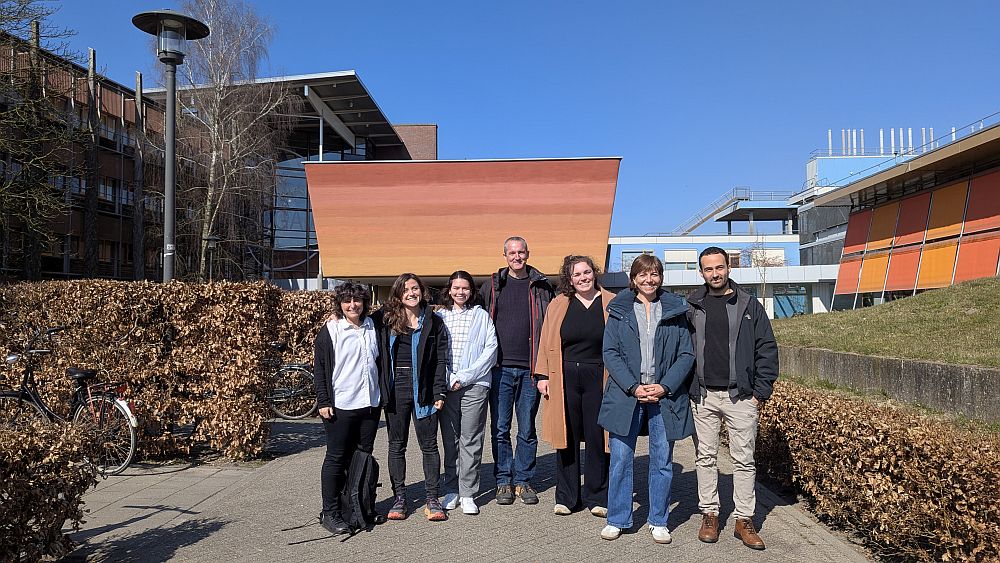
On 17-20 March 2025, the ISRIC – World Soil Information mapping team conducted a four-day training on Digital Soil Mapping (DSM) for the Institut Cartogràfic i Geològic de Catalunya (ICGC), also known as the Cartographic and Geological Institute of Catalonia in English, in Wageningen, the Netherlands.
Tailored specifically to support ICGC’s soil mapping programme, the comprehensive training covered theoretical knowledge, practical skills, and hands-on experience.
The ICGC possesses an extensive database containing harmonised and homogeneous soil data collected from about 5000 locations through its soil mapping programs since 2008, as well as soil maps at 1:250,000 scale covering the entire Catalonian territory and maps at 1:25,000 scale covering a small part of the region’s agricultural area. Additionally, the institute has access to a historical soil database containing over 9,000 profiles of older, non-harmonised, and heterogeneous data from older mapping programs (1982-2008). To enhance soil data coverage, efforts are being made to increase sampling density in agricultural areas lacking more detailed cartography, adding more than 1,800 new profiles.
Looking ahead, ICGC aims to develop a suite of DSM services to generate maps for Catalonia’s entire agricultural surface, enabling the prediction of key soil variables. They approached ISRIC for a tailored DSM training to strengthen their capacity in this field.
The training covered a broad range of topics. Not only soil data preparation, covariates selection, modelling with Random Forest and uncertainty and accuracy assessment were discussed, but also other topics such as compositional data modelling, handling heavy computation workflows, FAIR data principles and open soil information systems. The interactive nature of the training and the balance between theory and hands-on practicals were much appreciated by the training participants.
“The Digital Soil Mapping training was a great opportunity to become familiar with the seedling workflow for DSM and advance our skills as DSM users and creators. Beyond the technical insights that will help us produce scientifically rigorous digital soil maps, it was a true pleasure to learn directly from the ISRIC team—global leaders in the field”, said Marc Vicens Ferrer, Head of the Soil Unit at Cartographic and Geological Institute of Catalonia.
This collaboration with ISRIC marks an important step toward advancing digital soil mapping capabilities and improving soil data accessibility for Catalonia.