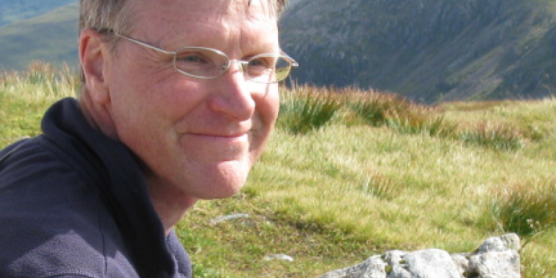
Gerard Heuvelink appointed professor by special appointment in ‘Pedometrics and Digital Soil Mapping’
The Executive Board of Wageningen University & Research has appointed Gerard Heuvelink as professor by special appointment in ‘Pedometrics and Digital Soil Mapping’ as of 1 June 2017. The professorship by special appointment is funded by ISRIC - World Soil Information and is positioned within the Soil Geography and Landscape chairgroup led by Jakob Wallinga. This appointment further strengthens the research and teaching collaboration between ISRIC and Wageningen University.
The Pedometrics and Digital Soil Mapping professorship focuses on the development and application of mathematical and statistical techniques to analyse and model spatial variability and temporal variability in soil. This is achieved by combining these techniques with knowledge of soil processes and patterns. Digital soil mapping is an important field of application, as efficient and accurate soil mapping requires a sound understanding of soil variation. The scientific challenge is to move beyond simple statistical relationships and truly integrate pedogenetic knowledge in digital soil mapping, as well as to improve and quantify the accuracy of soil maps. In close cooperation with other WU researchers in the soil domain, this professorship contributes to a better understanding and modelling of soil processes and patterns at multiple spatial and temporal scales. The results are essential to supporting quantitative environmental studies that require accurate regionalised soil information, such as global and regional studies on food security, climate change, biodiversity, land and soil degradation, and water scarcity.
The primary research themes of the professorship are:
- Innovations in digital soil mapping - Improved geostatistical modelling of relationships between explanatory variables and target soil properties and soil classes. Extension of digital soil mapping approaches from 2D to 3D and from space to space-time. Design of optimal sampling schemes in space and time for soil mapping and monitoring. Updownscaling and downscaling soil information using geostatistics. Improved understanding and tailoring of machine learning methods for digital soil mapping.
- Accuracy assessment and uncertainty propagation - Accuracy assessment of general and thematic soil maps, through statistical validation and explicit modelling of uncertainty in digital soil mapping models. Explicit modelling of uncertainties in soil field and lab observations and their effect on the accuracy of derived soil maps. Analysis of propagation of soil map uncertainties through environmental models and spatial analyses.
- Stochastic state-space modelling of soil formation - Transformation of Jenny’s state factor model of soil formation to a stochastic state-space formulation, to support optimal integration of mechanistic process knowledge and observations and to improve our understanding of spatio-temporal soil variations.
- Efficient exploitation of modern information sources - Development of methods that merge information gleaned from modern data collection techniques, such as proximal soil sensing and visual soil assessment, with traditional field and laboratory measurements, while recognising imperfections in specific data collection methods. Evaluation of the intrinsic value of volunteered soil data.
Currently, pedometrics and digital soil mapping are taught at Wageningen University in a highly fragmented way. The professorship will take initiatives to concentrate, harmonise and coordinate the teaching of these subjects and increase their visibility within the curriculum. It is important that future Wageningen University soil geography graduates have receive comprehensive training in digital soil mapping as this it is a skill required by all modern soil surveyors. Further integration of Wageningen University's teaching activities and ISRIC's capacity-building activities will be achieved through the joint development of (digital) learning materials.
Gerard Heuvelink holds an MSc in Applied Mathematics of Twente Technical University (1987) and a PhD in Environmental Sciences of Utrecht University (1993). He was an assistant professor at the University of Amsterdam until 2003, when he accepted a dual appointment as senior researcher at Alterra and associate professor at Wageningen University. In 2011, he changed his appointment at Alterra for a position as senior researcher at ISRIC - World Soil Information. Gerard has been visiting professor at the University of the Chinese Academy of Sciences (Beijing) since 2011. He is an associate editor of the European Journal of Soil Science and of Spatial Statistics. In 2014 he was awarded with the Richard Webster medal from the Pedometrics Commission of the International Union of Soil Science.
