Access the ISRIC library: a world repository of soil legacy maps and reports
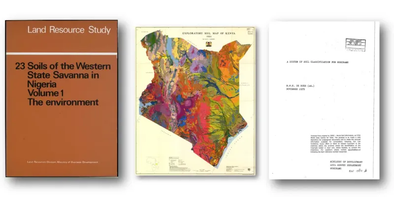
ISRIC’s soil library and map collection holds more than 10,000 maps and 17,000 reports and books related to soil information from all over the world. This collection is open to the public and much of our holdings have been digitized and are available to view online.
The collection started in 1966, largely as the repository for the maps and reports that were brought together by 133 institutes world-wide for the Soil Map of the World project spearheaded by United Nations' Food and Agriculture Organization (FAO) and the Educational, Scientific and Cultural Organization (UNESCO). Since then, ISRIC – World Soil Information has continued to collect, organize and archive the world’s valuable legacy of soil information from across the globe. The collection includes around 10,000 maps and 17,000 reports and books. Many of these materials can be accessed online.
Legacy soil (survey) information has great value as it provides a geographic and time specific record of soil and landscape conditions. Soil maps and reports are the end-product of soil surveys, which are expensive and time-consuming projects. They are often called ‘grey literature’, which is not distributed by a (commercial) publisher and commonly in limited print. These sources therefore tend to become inaccessible over time and or even completely lost.
Current digital soil mapping methods use digital data on soil observations, including from legacy data, and co-variate (environmental) data layers. Soil sampling campaigns are expensive and resources for new sampling are often unavailable or limited. The archiving, digitizing and online disclosure of soil survey report and maps is therefore important. The ISRIC library works to make sure the information is stored and accessible for the long term. Access and explore the soil library and map collection of ISRIC here and search on keyword or region.
