Background
The project 'Food security in the Western Sahel, with specific focus on Burkina Faso' has been granted by the Netherlands Ministry of Agriculture to a consortium of IFDC, EMSA, eLEAF and ISRIC.
Objectives
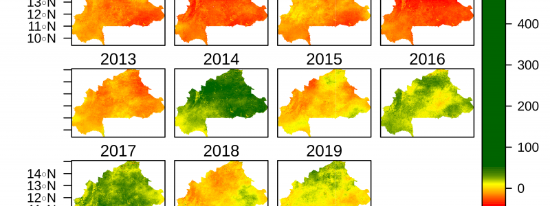
Assess the spatio-temporal variability of water and nutrient sufficiency for three major crops in Burkina Faso at 250 m resolution.
Activities
- calculate and map the yearly water requirement, water availability and water sufficiency,
- calculate and map the yearly nutrient requirement, nutrient availability and nutrient sufficiency.
The water-related calculations are based on maps, derived from satellite earth observations and available from the FAO-WAPOR database, of yearly weather and derived data together with a map of soil rootable depth and the nutrient related calculations on the previous [details?] maps and maps of soil nutrient content [Provide URls]
Deliverables
Demonstration of components of a possible information system to guide investments in sustainable intensification of agricultural production in the Western Sahel, including:
- maps of the yearly water and nutrient sufficiency for millet, sorghum and maize in Burkina Faso
- a report describing the methodology, underlying data and results.
Consortium
International Fertilizer Development Center (IFDC), European Maritime Safety Agency (EMSA), eLEAF and ISRIC.
Funding
Ministry of Agriculture, Nature and Fishery (LNV), the Netherlands