SoilGrids data now available on Google Earth Engine
SoilGrids, a global soil properties maps, is now available to use via Google Earth Engine.
SoilGrids is a project of ISRIC – World Soil Information which aims to provide a globally consistent, data-driven system that predicts soil properties and classes using global covariates and globally fitted models with a digital soil mapping approach based on Quantile Random Forest.
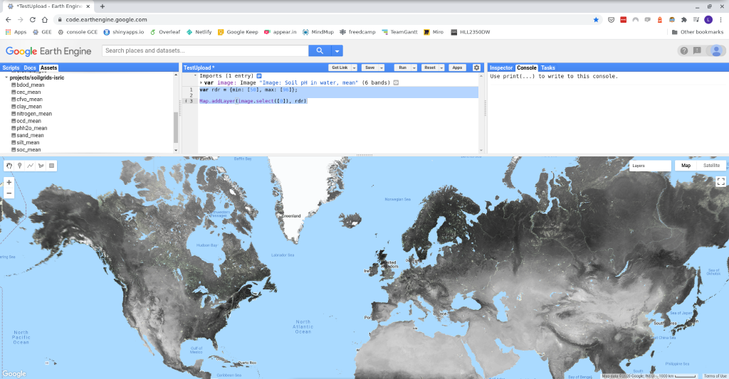
The upload of selected SoilGrids layers to Google Earth Engine (GEE) datasets was completed on Tuesday, October 20. More information on how to access the SoilGrids assets is available here: https://git.wur.nl/isric/soilgrids/soilgrids.notebooks/-/blob/master/markdown/access_on_gee.md
SoilGrids provides maps for ten different soil properties at six different depths. The use of Quantile Random Forest allowed the spatial assessment of the uncertainty. Four different predictions were obtained from the predictive distribution at each pixel of the map: mean, median, the 5th percentile, and the 95th percentile, following the international specification of GlobalSoilMap project.
Currently, layers representing the mean of predictive distribution are provided. The additional layers-- median, 5th percentile and 95th percentile--will be uploaded soon to GEE.
Uploading SoilsGrids data to Google Earth Engine is a significant milestone for the project because it expands access for data users. In particular, GEE facilitates access for modelers from numerous disciplines that already use the platform for their applications.
Adding this important soil dataset to Google Earth Engine is in line with ISRIC – World Soil Information’s mission to make our products as easy to use and as widely available as possible.
The SoilGrids dataset is also available through the SoilGrids interface and a number of other protocols and services. Please see here for more information.