The WISE project has developed homogenized sets of soil property estimates for the world. These have been linked to the soil geographical data of the 1:5M FAO Soil Map of the World. The resulting area-class maps have been, and are being used, for a wide range of environmental studies at global scale: agro-ecological zoning, assessments of crop production, soil vulnerability to pollution, soil carbon stocks and change, and soil gaseous emission potentials.

Applications
There are many gaps in most soil data sets. An important application of WISE-derived soil property data has been to fill gaps in primary SOTER databases, using consistent taxotransfer procedures.
The resulting GIS datasets are referred to as SOTWIS databases. SOTWIS databases were used to populate large portions of the Harmonized World Soil Database version 1.0 (HWSD 2012). Subsequently, in 2022, FAO and IIASA used the final WISE30sec study (2016) to provide soil parameter estimates for version 2.0 of the HWSD.
The full complement of WISE databases is listed here; SOTWIS databases are described here. These resources are available via a GeoNetwork catalogue instance, data.isric.org. WISE-derived databases are used to study a wide range of global issues, including agro-ecological zoning, assessments of crop production, soil vulnerability to pollution, soil carbon stocks and change, and soil gaseous emission potentials.
History
The WISE project (1991-1996) was implemented by ISRIC for the Dutch National Research Programme on Global Air Pollution and Climate Change (NRP Project 851039).
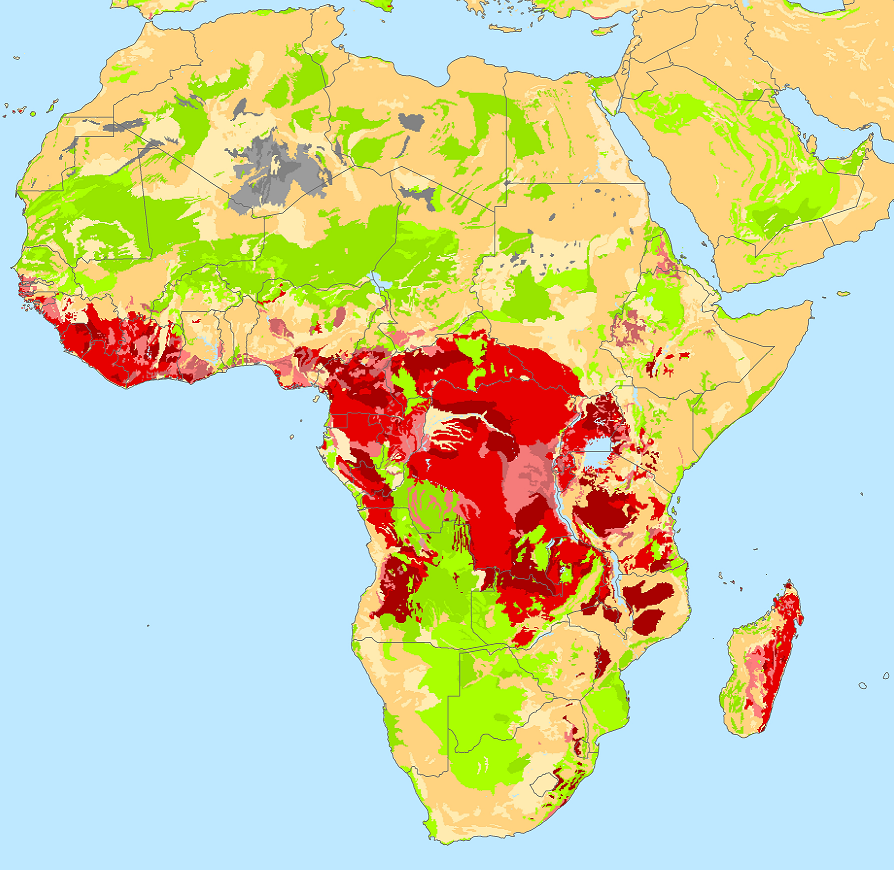
Upon completion of the NRP-project, the WISE database has been expanded in the context of several externally funded projects. Follow-up activities, with IIASA and FAO respectively IFPRI were aimed at deriving revised soil property estimates for the soil units of FAO's (1995) 1:5 million scale Soil Map of the World using taxotransfer procedures. Projects with UNEP-GEF focused on generating derived databases (SOTWIS) to underpin studies of soil carbon stocks and changes at national scale, focusing on Brazil, India (Indo Gangetic Plains), Jordan and Kenya as case study areas.
In 2016, the point data of the WISE database were incorporated in WoSIS, the ISRIC World Soil Information Service. At ISRIC, the WoSIS point data underpin the global soil mapping using SoilGrids.
All WISE-derived products are available via the ISRIC Soil Data Hub.
Contributing agencies and individuals
The WISE project, and its spin-offs, involved collaboration with numerous institutions and individuals worldwide. We gratefully acknowledge their contributions.