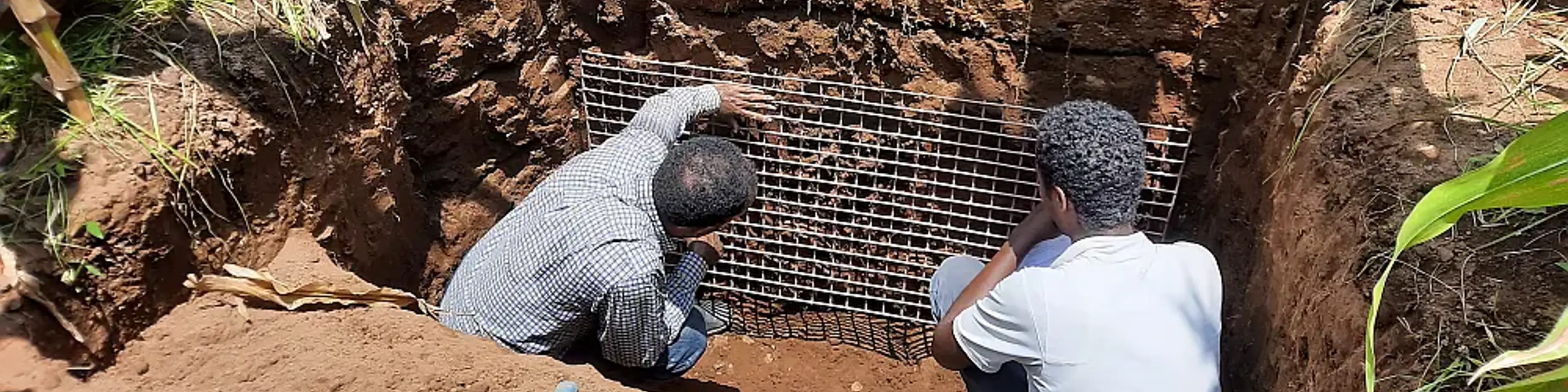
A new open-access soil profile dataset from central Ethiopia

News

Africa

Information products & services for SLM

Gerard Heuvelink,

Professor pedometrics and digital soil mapping

8 September 2026

A new open-access dataset provides detailed information on 50 soil profiles from central Ethiopia, bringing together soil morphology, root distribution, soil-water properties, laboratory measurements and soil classification in a single resource.

The dataset accompanies a new paper titled “A Soil Profile Dataset From Central Ethiopia: Morphological, Physical and Chemical Properties, WRB Classification, and Root Count” recently published in the European Journal of Soil Science. The dataset is freely available through the PANGAEA data repository.
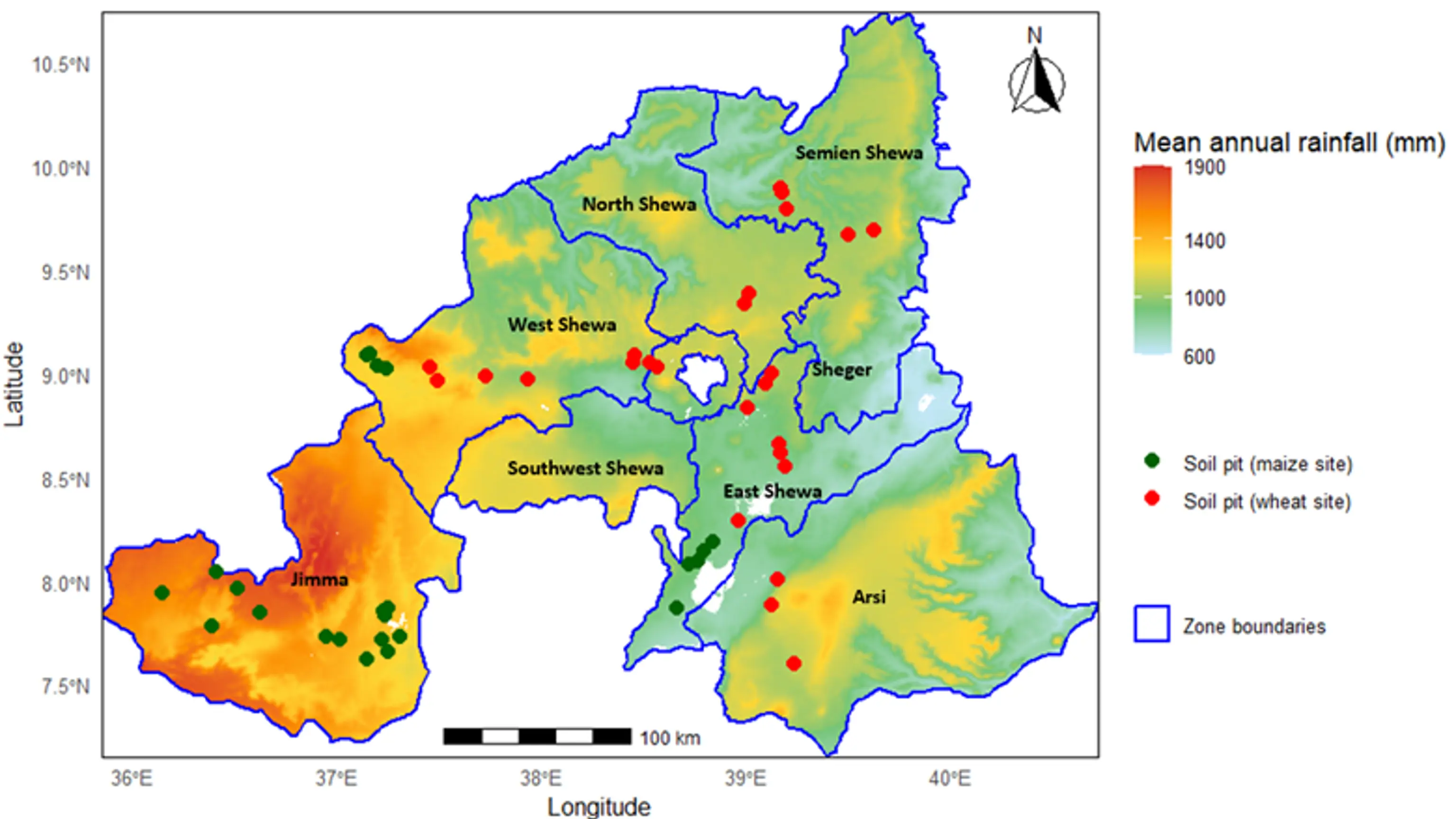
Spatial distribution of 50 soil profile locations in central Ethiopia

What does the dataset include?

The 50 profiles include:

  • Soil morphology and site information.

  • Root distribution and rooting depth.

  • Physical and chemical soil properties.

  • Soil-water retention measurements.

  • World Reference Base (WRB ) soil classifications, including principal and supplementary qualifiers.

  • Field photographs and metadata.

What makes the dataset unique?

  • Full depth: 50 soil profiles with observations and measurements to depths of up to 2 meters.

  • Integrated: Root distribution, soil properties, and soil-water retention in the same profiles.

  • Well documented: WRB classifications, clear metadata, and field photographs.

  • FAIR (Findable, Accessible, Interoperable, Reusable): Openly available through the PANGAEA data repository.

The dataset can support research on soil–root–water interactions, digital soil mapping, soil modelling, and assessment of crop root-zone depth and plant-available water.

This dataset helps bridge important gaps in Ethiopia’s soil information by bringing together soil morphology, roots, water retention, laboratory measurements and soil classification in one openly accessible resource.

— Musefa Redi AbegazPhD candidate

Gerard Heuvelink, Professor of Pedometrics and Digital Soil Mapping at Wageningen University & Research and ISRIC, highlights the broader importance of making high-quality soil information openly available:

We are particularly proud of the publication of this paper and dataset because it is at the heart of ISRIC’s mission, which is to increase the availability and use of quality-assessed soil data, information and knowledge.

— Gerard HeuvelinkProfessor of Pedometrics and Digital Soil Mapping

The dataset was collected by Musefa Redi Abegaz, an employee of the Ethiopian Institute of Agricultural Research (EIAR) and PhD-candidate at Wageningen University and ISRIC. Musefa’s PhD research is financially supported by ISRIC and the Land, Soil and Crop Information Services (LSC-IS) to support Climate-Smart Agriculture (DeSIRA) project.

Full citation: Redi, M. A., J. G. B. Leenaars, S. Mantel, and G. B. M. Heuvelink. 2026. “A Soil Profile Dataset From Central Ethiopia: Morphological, Physical and Chemical Properties, WRB Classification, and Root Count.” European Journal of Soil Science 77(4): e70402. https://doi.org/10.1111/ejss.70402.

Read the paper & explore the dataset

Suggested content

Share