Background
CUP4SOIL (Copernicus user uptake for soil information products) aims at a downstream service to support national and European agencies for reporting on soil health and quality. This further underpins the pre-operational Soil Monitoring System currently being developed within the European Space Agency’s (ESA) WorldSoils project with the potential to serve as a component of the Copernicus Land Monitoring Service. Using synergies between this action and the ESA WorldSoils project will streamline the activities and boost the user uptake. Read more on the Copernicus User Uptake website.
Objectives
- Explore the potential for Copernicus downstream services to support national and European agencies for reporting on soil health/quality.
- Generate European-wide data products and indicators characterising soil health and quality
- Prepare and develop a user community that tests and validates data products for soil health and quality information
- Ensure close cooperation with the ESA WorldSoils project activities and other related projects/initiatives such as the EJP soil project STEREOPES, SERENA, etc.
Activities
User requirement collection: In the first step, CUP4SOIL explores the different literature and project resources about essential soil health indicators. This will feed into a User Requirement Document (URD), including the results of a specific online user survey developed based on the framework of the FPCUP (Framework Partnership Agreement on Copernicus User Uptake) requirements
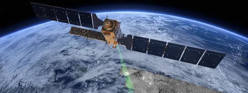
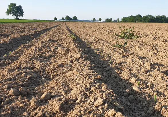
Soil data products: In the next step, CUP4SOIL generates European-wide soil information products based on Sentinel-1 and Sentinel-2 data. For this purpose, DLR and ISRIC – World Soil Information join their large-scale processing expertise and facilities. DLR is creating several soil-related input products such as soil reflectance composites, information about the cover frequency of soils and the vegetation dynamic on a high spatial resolution (20 m). These data products flow into the high-performance computing environment of ISRIC that generates information about soil organic carbon content, texture pH values, etc. using digital soil mapping approaches. The data will be made publicly available. Selective key users are involved to evaluate the usability of the proposed soil information products.
Showcases: Based on this user exchange and feedback, the Copernicus URD will be updated and required changes are integrated into the soil information processors of DLR and ISRIC to improve the soil product portfolio. The showcases use the suggested Copernicus soil input data to derive higher-value information about soil quality and health for specific regions to demonstrate the usability and applicability of the soil product portfolio for Copernicus users.
Deliverables
- EO data products and maps:
- Soil property maps (e.g. soil organic carbon, soil texture) and information about soil and vegetation dynamics including quality indicators
- Web portal to display and access the data
- Documents:
- User requirements document tailored to the need of Copernicus Users interested in soil quality and health information
- Key soil product and application concept description including robustness tests, product quality, feasibility for European-wide application and potential processing platforms
- Showcases (example of downstream applications)
- Scientific and grey publications, a webpage for accessing and downloading the Earth Observation (EO) data products and maps
- User surveys collecting feedback for the community regarding the usefulness of the developed service
- Meeting and Workshops:
- First virtual meeting for consolidating the User Requirements and stimulating the building of the network
- First soil information products are presented; user requirements will be updated and user uptake activities are organized
- Final workshop at the end of the project to assess key user feedback and future directions and recommendations due to a user survey several months after the introduction of the service.
Consortium
ISRIC – World Soil Information
Funding
This action is funded through the Framework Partnership Agreement on Copernicus User Uptake (FPCUP).