
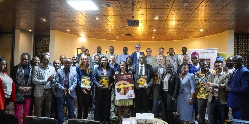
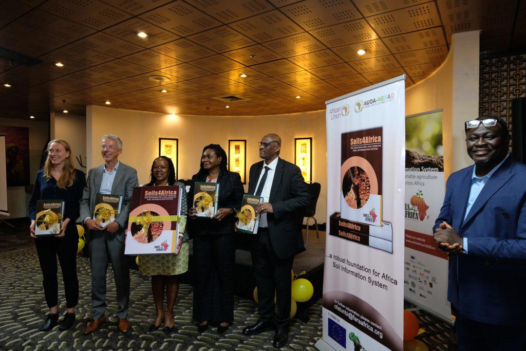
On 19 May 2025, in Addis Ababa, Ethiopia, the Soils4Africa project officially launched the continental Soil Information System for Africa (Africa SIS) that resulted from five years of dedicated collaboration between 17 African and European partners. The SIS represents a major step forward in managing one of the continent’s most vital natural resources: its soils.
Soil data across Africa has traditionally come from various sources and has been collected using different methods tailored to specific objectives. These inconsistencies, combined with limited access to data, have hindered the ability to produce reliable, science-based assessments of soil health and its constraints at continental level.
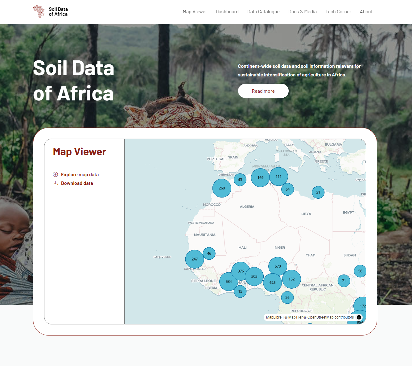
The Soils4Africa project has addressed this challenge by collecting harmonised, high-quality soil data from over 15,000 field locations across the continent. Funded by the European Union’s Horizon 2020 programme, the project has developed an open-access platform to serve as the foundation for future soil monitoring across Africa’s agricultural land. The SIS will eventually be hosted by the Forum for Agricultural Research in Africa (FARA) and form the core of the Africa Soil Observatory, which is set to be developed under a forthcoming EU Horizon Europe project starting in July 2025.
The Africa SIS is designed to organise, manage, analyse, and disseminate soil data at both national and continental scales. By integrating new field data with legacy datasets—using standardised sampling, analysis, and reporting methods—the SIS provides a science-based resource to support evidence-based decision-making.
Access to reliable data is essential for making well-informed decisions. The SIS provides access to high-quality soil data to support extension services, agri-businesses, scientists, and policymakers in their efforts towards sustainable intensification of agriculture and improving food security across the continent. Currently, the SIS hosts field data collected from over 14,000 locations, while laboratory analysis of the soil samples is still underway. The resulting soil analytical data will be made available in due course. In addition to the results of the Soils4Africa data collection effort, the SIS provides access to approximately 90 continental geospatial data layers relevant to the agricultural domain.
This launch also marks the beginning of a broader vision. Through the Coalition for Soil Information in Africa( C4SISA), led by FARA and co-led by ISRIC – World Soil Information, and supported under the Africa Union's Soil Initiative for Africa (SIA), efforts will continue to expand and apply this knowledge base for the benefit of all Africans.
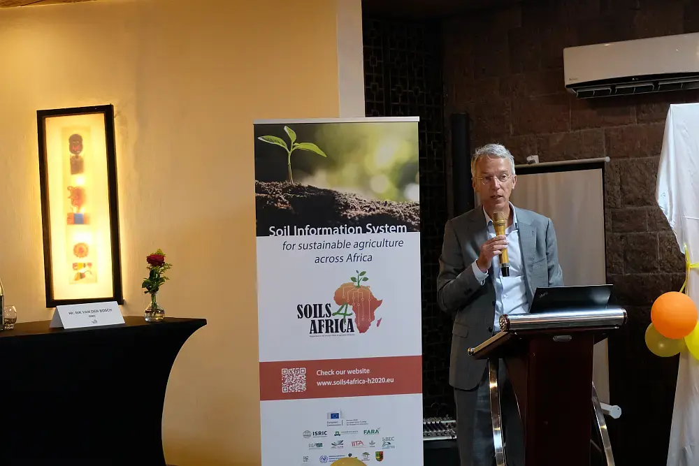
"Africa’s soil data belongs to Africa — it should be hosted by African institutions and developed in line with African interests. With the Soil Initiative for Africa providing a sound policy framework, the Soils4Africa SIS laying the technical foundation, and the newly formed Coalition for Soil Information offering support, now is the time to build momentum and drive real impact."— Rik van den Bosch, Director of ISRIC – World Soil Information.
About Soils4Africa
The Soils4Africa project, funded by the European Union’s Horizon 2020 Research and Innovation programme under grant agreement No 862900, includes the following consortium partners: ISRIC (coordinating partner), Wageningen University, FARA, Szent István University, The Agricultural Research Council, The International Institute of Tropical Agriculture, The Interbalkan Environment Center, Stellenbosch University, World Agroforestry (ICRAF), The Regional Centre for Mapping of Resources for Development, Institut Facultaire des Sciences Agronomiques de Yangambi, BUNASOLS, l'Institut des Régions Arides, Kenya Agricultural & Livestock Research Organization, SGS Hungary Ltd, European Joint Research Centre, and MetaMeta.