New look for ISRIC Soil Data Hub

ISRIC’s Soil Data Hub, our central location for searching and downloading digital soil data from around the world, has recently been updated in collaboration with GeoCat. The service is provided by ISRIC in its role of World Data Center for Soils, a regular member of the ICS World Data System.
The holdings or metadata can now be more efficiently searched using selected keywords, such as ‘bulk density’ and ‘organic carbon’. Alternatively, when users are interested in specific types of products, the holdings can be queried using broad search categories. These categories are defined according to the well-known acronyms of certain international data compilation efforts. For example, SOTER covering a range of digital Soil and Terrain databases for sections of the world (developed following a pedology-based approach) and SoilGrids250m layers encompassing a range of soil property maps derived from digital soil mapping. Another category, named ‘External’, provides linkages to metadata for a growing range of third party datasets shared with ISRIC for consideration in the Data Hub.
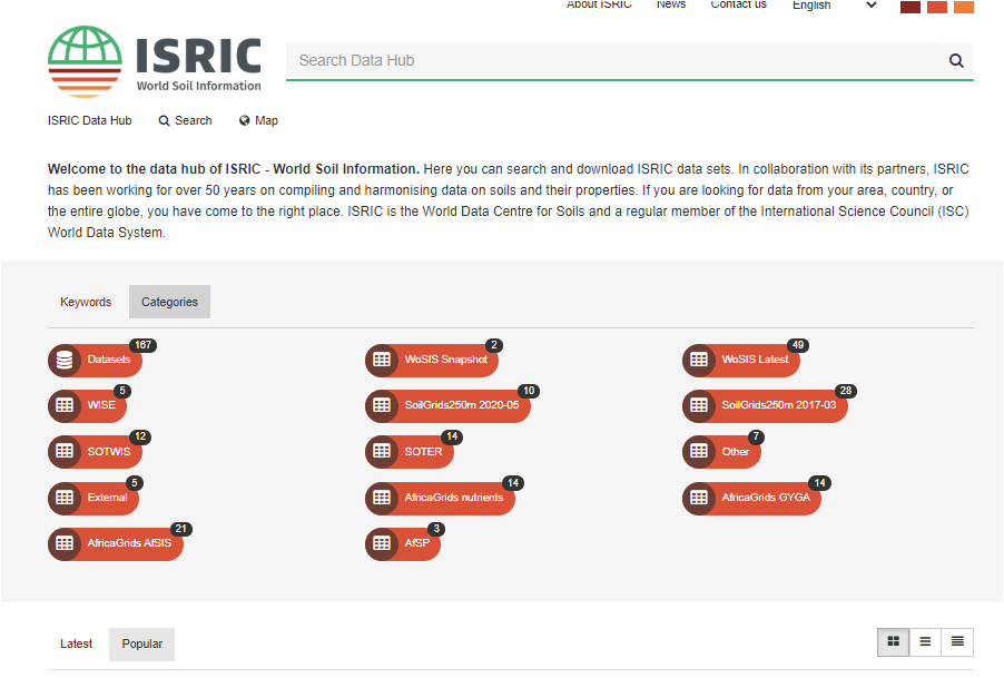
User interest for specific datasets can be seen using the tabs ‘Latest’ and ‘Popular’, the later tab showing which datasets are most downloaded from the ISRIC Soil Data Hub.
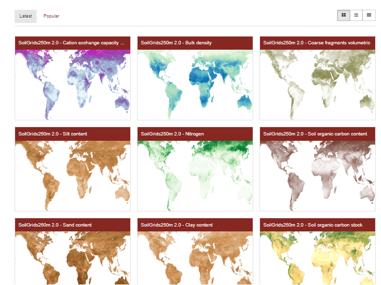
Clicking on (the header) of a given map will bring the user to the corresponding metadata which include information concerning options for downloading/accessing the selected resources, and related licenses.
Please explore the updated ISRIC Soil Data Hub and contact us if you have issues navigating the site. We welcome suggestions for improving the functionality and user-friendliness of the Hub, or concerning possible datasets that could be added to the ISRIC Soil Data Hub (via info@isric.org).