Development of baseline SOC maps in support of Land Degradation Neutrality in Namibia

Together with the International Centre for Tropical Agriculture (CIAT), ISRIC organised a workshop from 13 to 16 March 2018 in Windhoek, Namibia to support the development of baseline maps of Land Degradation Neutrality (LDN) indictors for the Omusati Region.
The workshop was attended by eleven local experts from the University of Namibia, the Ministry of Environment and Tourism and the Ministry of Forestry. CIAT and ISRIC provided technical support to these experts to develop baseline maps of the LDN indicators: soil organic carbon stocks, land cover, vegetation intensity and bush density from field observations, laboratory analyses and satellite imagery using state-of-the art modelling methods and data analyses. This workshop followed two intensive training sessions in November 2016 and May 2017 organised by CIAT and ISRIC in which the workshop participants were trained in these methods.
.") |
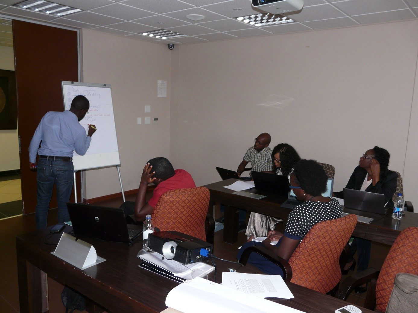 |
| Draft map of soil organic carbon stocks that was produced during the workshop. | Break-out session with workshop participants designing a workflow to map soil organic carbon stocks. |
Namibia being one of the pilot countries to implement the LDN concept, the LDN indicator baselines will be used in by the national government to develop an integrated regional land use plan for the Omusati region. This project followed a similar LDN project in the Otjozondjupa Region in 2016.