Coarse resolution SoilGrids property maps released (1000 m and 5000 m)
Healthy soils provide important ecosystem services at the local, landscape and global level and are crucial for well-functioning terrestrial ecosystems. In order to study pressing global issues like soil erosion, climate change, food and water security as well as biodiversity preservation, the international modelling community require quality-assessed information on world soil resources at a resolution commensurate with their needs.
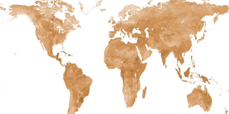
In response to this demand, in 2020 ISRIC – World Soil Information published maps of soil properties for the entire globe at medium spatial resolution, SoilGrids250m 2.0. Now, to better serve the Land and Earth System Modelling community that typically works at coarser resolution than 250 meters (m), ISRIC released an aggregated SoilGrids product at resolutions of 1000 m and 5000 m. The mean predictions were aggregated at the corresponding coarser resolution. We are working to produce modelling uncertainty at coarser resolution as well. We created coarser products for the primary properties available in Soilgrids250m, namely: pH in water, texture fractions, coarse fragments, bulk density, total nitrogen, organic carbon concentration, cation exchange capacity and water retention at three pressure heads (10, 33 and 1500 kPa).
Access SoilGridsv2.0 aggregated (1000 m, 5000 m) maps: https://files.isric.org/soilgrids/latest/data_aggregated/
“I'm very excited to start using this data. We will use these coarser SoilGrids maps to update the input data used to create surface datasets for the Community Land Model,” said Will Wieder, Project Scientist and Land Model Working Group Co-Chair for Climate & Global Dynamics (GCD) at National Center for Atmospheric Research (NCAR) in Boulder, Colorado. (Community Land Model: Lawrence et al. 2019)

SoilGrids maps at 250 m resolution are produced using machine learning methods to generate the necessary models, as well as a large number of globally distributed soil observations and global environmental covariates describing vegetation, terrain morphology, climate, geology and hydrology. The list of soil properties served is being gradually extended, based on user requests and the availability of new soil observations, co-variates and modelling approaches (see FAQ SoilGrids).
Access the paper about SoilGrids250m 2.0: https://doi.org/10.5194/soil-7-217-2021
In collaboration with our partners, ISRIC – World Soil Information works to improve the information on world soil resources. ISRIC is open to partnerships with governments, NGOs, research institutions, and the private sector. We can make use of each other’s expertise and develop unique projects together. Learn more about collaboration opportunities.
