María
Ruiperez Gonzalez
María
Ruiperez Gonzalez
Digital soil mapping and GIS expert
Phone
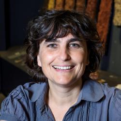
María is an environmental sciences professional working in ISRIC since 2013. Her current work involves supporting ISRIC as a remote sensing and GIS specialist in ongoing digital soil mapping, capacity building and land degradation projects.
María holds an Environmental Sciences Degree from the Autonomous University of Madrid and a Remote Sensing, Geographic Information Systems and Cartography Professional Master from the University of Alcala. She started working in 2000 for WWF/Spain in capacity building and restoration of degraded areas. After that, she worked in SM GEODIM as a technician in irrigation water management and SMART Viticulture projects.
María speaks English and Spanish.
Publications