LAUREL (Land Use Planning for Enhanced Resilience of Landscapes)

Madagascar landscape
Share on:
Start year
2017
End year
2019

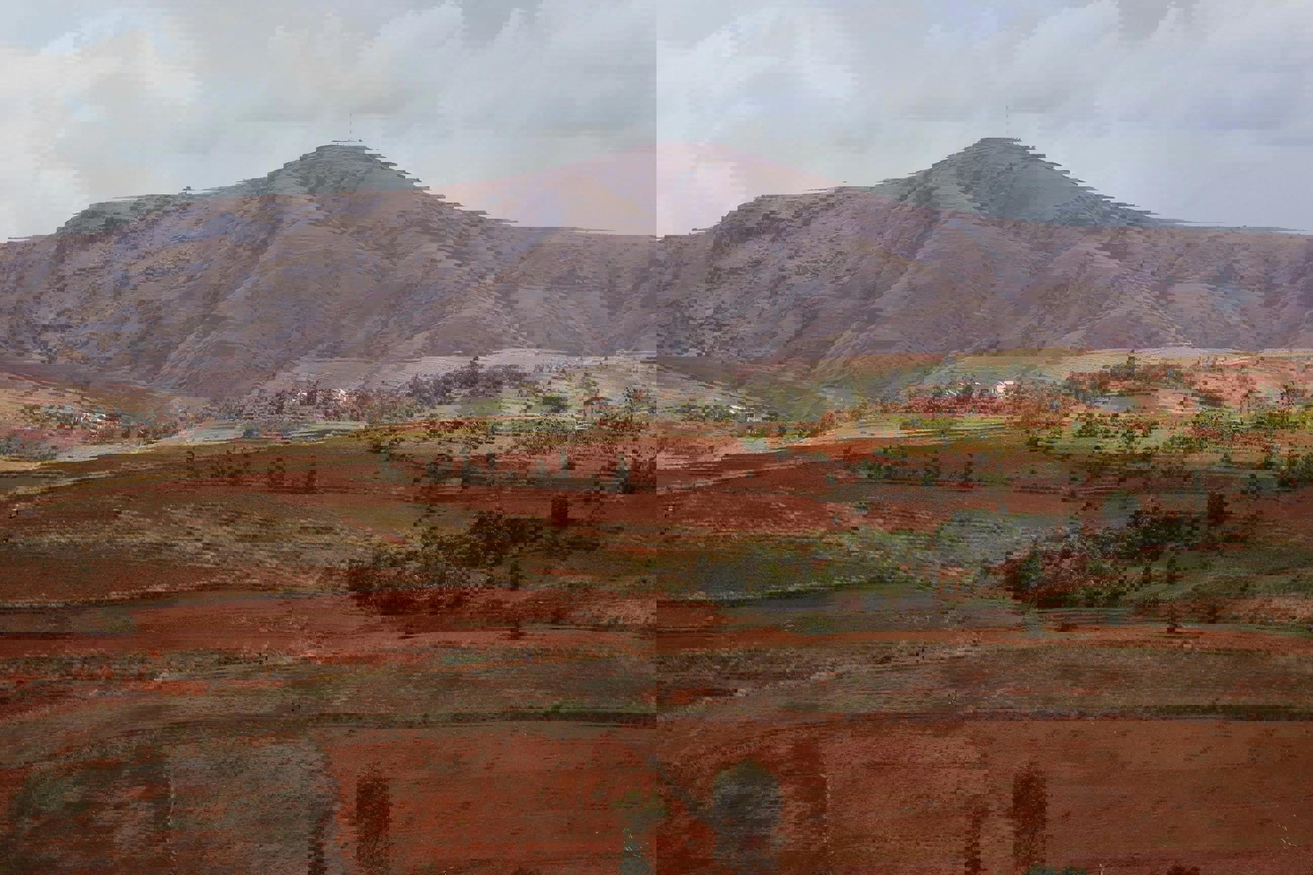
ISRIC was involved in a World Bank-funded project in Madagascar on Land Use Planning for Enhanced Resilience of Landscapes (LAUREL). The overall objective of the LAUREL project was to support a process of integrated multi-sectoral decision making for national landscape management in Madagascar, through improvement of spatial data on land degradation and by the development of a prototype modeling platform for simulating, evaluating and reorienting land use and changes in land uses.

The project was led by Wageningen University – SLM (Dr. Luuk Fleskens) and ran over 18 months (starting April 2017), but was extended till mid 2020 due to various external reasons. Activities were  organized into two broad components:

  • The first component was led by ISRIC and covered the development of a land degradation baseline, based on a) NDVI analysis as it was used in the GLADA project, enabling the identification of potential “hot spots” of degradation and “bright spots” of land improvement, and b) expert-based mapping at national level and at local level for selected “hot spots” and “bright spots”, using the WOCAT mapping method.
  • The second component concerned the development of a prototype platform for simulating, evaluating, and re-orienting land use and land use change processes. The simulation platform is to be used by the Government to assess the consequences of alternative investment decisions on the achievement of development and environmental objectives (e.g. food security, forest cover, carbon storage).

The national mapping exercises in Component 1, based on remote sensing and on expert opinion, was successfully completed in 2018. A Technical Report presents the result of the national assessment. Unfortunatley no follow-up at the local level took place due to a change in priorities but the assessment proved to be a feasible tool for rapid assessment of land degradation and status of sustainable land management at broader geographical scales (national or regional. 

The simulation platform prototype (LandSim-P) is still under development and expected to be finalised before June 2020.

The program complements the large Sustainable Landscape Management Project in Madagascar (PADAP in the French Acronym).

For more information contact André Kooiman or Luuk Fleskens

File attachment
Global issues
Contact: