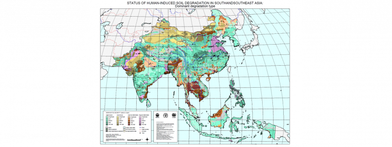
Following the publication of the World Map of the Satus of Human-induced Land Degradation (GLASOD), the need for more detailed and more country-specific degradation assessments became apparent. In 1993, the members of the Asian Network on Problem Soils recommended the preparation of a qualitative assessment for South and Southeast Asian at a scale of 1:5 million.
The study was commissioned by UNEP to ISRIC and carried out in close co-operation with FAO and national institutions in 16 countries (1995-1997). The assessment was carried out using a physiographic base map, compiled according to the SOTER methodology, and a slightly modified GLASOD methodology.
The information was stored in a digital database and linked to a GIS enabling preparation of thematic outputs in the form of maps, graphs and tables.
Project results consisted of a final report and two printed maps showing the dominant degradation types for the entire region and windows showing one specific degradation type for each.